🎙️ Voice is AI-generated. Inconsistencies may occur.
The National Weather Service issued an urgent marine warning early Wednesday morning for offshore waters stretching from Deerfield Beach to Ocean Reef, Florida, amid severe thunderstorms capable of generating waterspouts and damaging wind gusts.
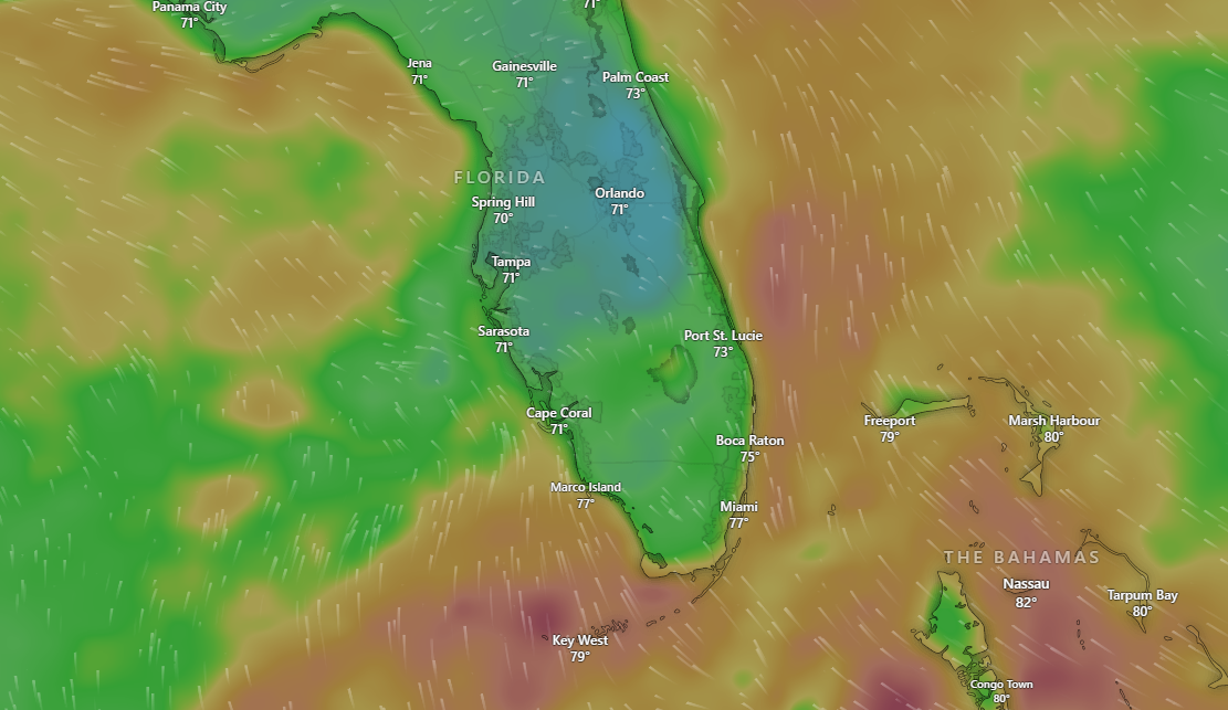
At 5:10 a.m. EDT, meteorologists detected a line of intense thunderstorms about 15 nautical miles southeast of Pacific Reef and 20 nautical miles northeast of Floyd’s Wall Northeast. The storm system was moving north at approximately 15 knots and was being monitored via radar, according to the alert. Interactive maps from Windy.com showed the areas expected to be hit by the extreme weather.
Why It Matters
The storm presents a serious hazard to maritime traffic, particularly for smaller vessels operating beyond 20 nautical miles off the coast. The primary threats include the development of waterspouts—dangerous tornado-like columns of rotating air over water—as well as wind gusts exceeding 34 knots (39 mph). The weather service warned that such conditions could easily capsize small boats and generate hazardous wave activity.
“Waterspouts can easily overturn boats and create locally hazardous seas,” the National Weather Service advisory stated. “Small craft could be damaged in briefly higher winds and suddenly higher waves.”
What to Know
The affected area includes offshore waters from Deerfield Beach to Ocean Reef, not including the territorial waters of the Bahamas. Authorities emphasized that the most dangerous weather conditions would remain primarily over open water. However, all mariners in the region were urged to take immediate precautions.
Boaters were advised to move to safe harbor until the hazardous weather passes. The alert also requested that reports of severe weather be submitted to the U.S. Coast Guard or directly to the National Weather Service, including through social media channels managed by the Miami office.
What People Are Saying
While no direct public statements accompanied the marine advisory, the National Weather Service emphasized safety over convenience. “Move to safe harbor until hazardous weather passes,” the advisory read. “Report severe weather to the Coast Guard or the National Weather Service.”
What’s Next
The severe thunderstorm activity is expected to continue moving northward through the morning hours. Further updates are anticipated as conditions evolve. Mariners are encouraged to maintain close communication with NOAA Weather Radio and NWS Miami for real-time updates. Additional advisories may be issued if the situation worsens or if storms intensify near populated coastlines or navigational routes.