Forecasters at the National Hurricane Center (NHC) are monitoring a disturbance in the Atlantic that has the potential to develop into a tropical cyclone, after Hurricane Gil weakened into a tropical storm in the Pacific.
Why It Matters
The Atlantic Hurricane season has seen three named systems so far in 2025: Andrea, Barry and Chantal. Chantal brought heavy rain and flooding to North Carolina in early July.
What To Know
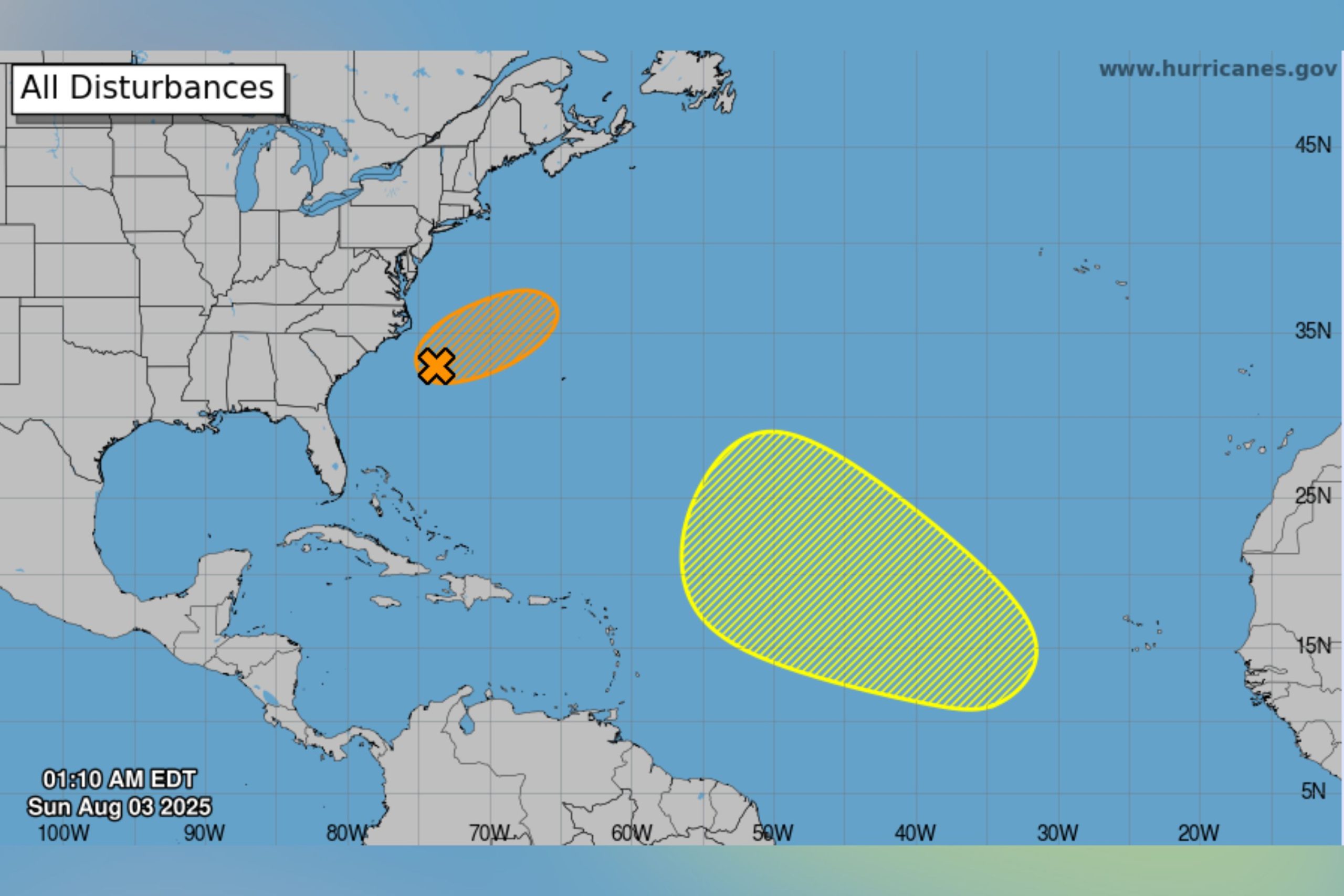
“A non-tropical area of low pressure located along a frontal boundary about 180 miles off the coast of North Carolina is producing disorganized showers and thunderstorms,” the NHC said in an update early on Sunday morning.
“Environmental conditions are marginally favorable for this system to potentially become a tropical or subtropical depression or storm today or on Monday while it moves east-northeastward at about 10 mph, away from the coast of North Carolina. Environmental conditions become less conducive for development after Monday.”

National Hurricane Center
The agency gave a 40-percent chance of cyclone formation within the next 48 hours, with the same likelihood projected for the next seven days.
Another disturbance, this time in the central Atlantic, was also being monitored by the NHC.
“A tropical wave is forecast to move off the west coast of Africa in the next day or two,” said the agency. “Environmental conditions could support some gradual development of the wave during the middle to latter part of next week while it moves generally west-northwestward across the central tropical Atlantic.”
This was given a 20-percent chance of formation through seven days.
Tropical Storm Gil Tracker
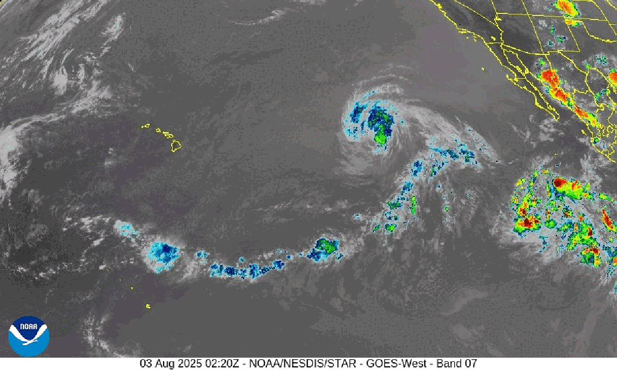
Meanwhile, Gil, which developed in the Pacific Ocean, had been downgraded to a tropical storm on Saturday after briefly reaching hurricane status.
The NHC said on Saturday that Gil was located well east of the Hawaiian Islands, and that the system was weakening and was expected to become post-tropical on Sunday.
NOAA
What People Are Saying
The National Hurricane Center said on X, Saturday: “We’re now monitoring two systems in the Atlantic, each with a low chance of becoming a tropical cyclone during the next seven days:
“1. A frontal low off the coast of NC could acquire some tropical or subtropical characteristics through Monday.
“2. A tropical wave will move off the coast of Africa during the next day or two, and some development is possible over the central Atlantic later in the week.”
The National Hurricane Center’s Tropical Analysis and Forecast Branch said on X, Saturday: “Tropical Storm Gil…continues to steadily weaken as it moves over relatively cool sea surface temperatures. These trends should continue, with Gil losing tropical characteristics in ~36hrs, and eventually dissipating within the next four to five days.”
What Happens Next
The Atlantic hurricane season runs from June through November, while the eastern Pacific hurricane season began on May 15 and lasts until November 30.
The NHC says that August and September are typically the busiest months of the Atlantic season.